Reveal crucial geospatial information and expose hidden geographic relationships to make better location-related decisions
Qlik Geoanalytics: Powerful map visualizations and location-based analytics for both Qlik Sense and QlikView
Geospatial visualization and analytics
Qlik GeoAnalytics not only provides comprehensive mapping capabilities but also moves beyond visualization with built-in spatial analysis support for a broad range of advanced geoanalytic use cases to help reveal crucial geospatial information and expose hidden geographic relationships. Play Video

Broad location-related use cases
Qlik GeoAnalytics addresses the needs of a variety of location-related use cases.- Mapping and location-based analytics to every user in the organization and beyond
- Flexibility to implement Qlik GeoAnalytics as a fully hosted solution, on premise or a its combination
- Provide credibility and domain expertise to a customer’s geospatial engagement
High performance, interactive mapping
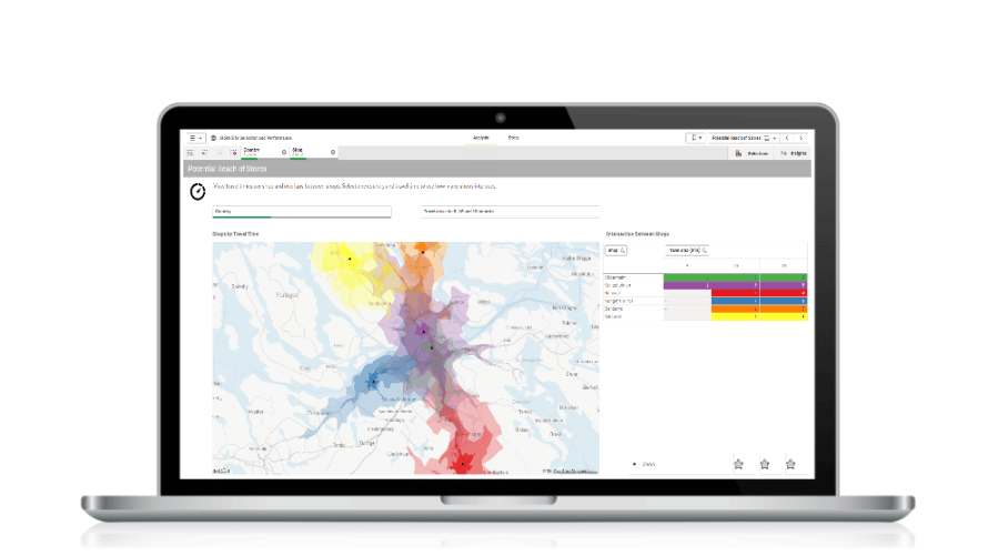
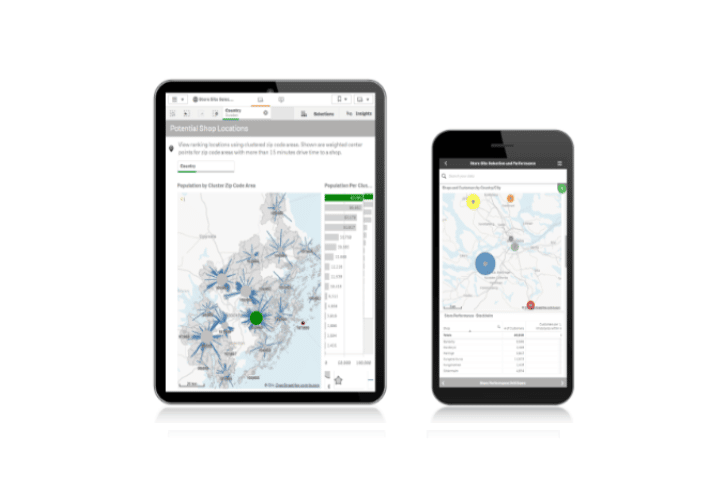
Easily create maps using automatic geo-data lookup and then overlay them with different visualizations.- Be more productive with on-the-fly location lookup capabilities
- Improve understanding by exploring all geo information along with any relationships within one map visualization
- Eliminate the overhead and expense of maintaining and managing access to a separate mapping database
Gain geospatial insight
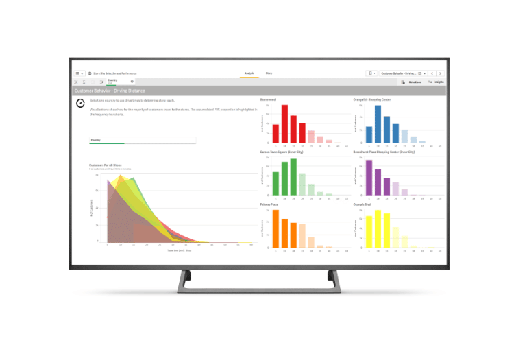
With the ability to quickly show cartographic information, users can gain insight into patterns not easily interpreted through tables or charts.- Go beyond map visualizations to understand and analyze geospatial relationships
- Efficiently access, visualize and analyze any existing geospatial related data and applications
- Gain insight into patterns not easily interpreted through tables or charts


