Přesné geoprostorové informace vám pomohou urychlit a usnadnit rozhodnutí týkající se polohy
Qlik Geoanalytics: Výkonné mapové vizualizace a lokalizační analýzy pro Qlik Sense i QlikView
Geoprostorová vizualizace a analytika
S Qlik GeoAnalytics odhalíte nejen skryté geo-lokační vztahy, ale také klíčové geoprostorové informace. Komplexní možnosti mapování překračující rámec vizualizace s vestavěnou podporou prostorové analýzy dělají z Qlik GeoAnalytics neocenitelného geoanalytického pomocníka. Play Video

Kde všude můžete Qlik GeoAnalytics použít?
Qlik GeoAnalytics je správnou volbou, pokud potřebujete pracovat s geolokačními daty- Mapování a lokalizační analýzy pro každého uživatele v organizaci i mimo ni
- Flexibilita implementace Qlik GeoAnalytics – jako dočasné řešení, plně integrované řešení nebo kombinace těchto řešení
- Důvěryhodnost a odborné znalosti v oblasti geoprostorového zapojení zákazníka
Vysoký výkon, interaktivní mapování
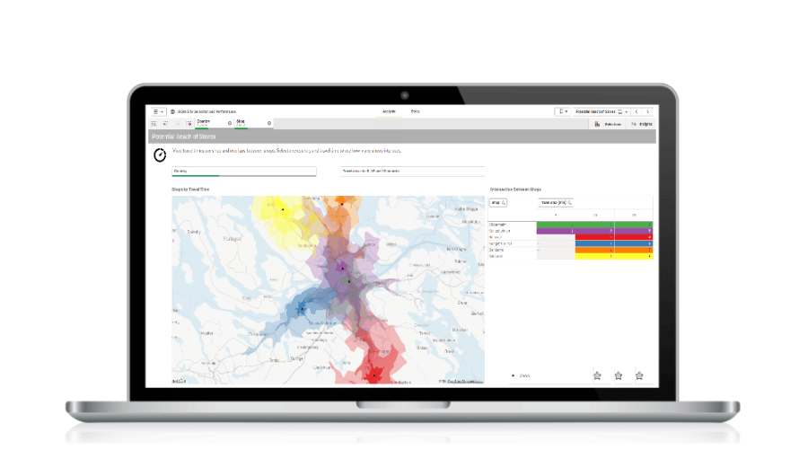
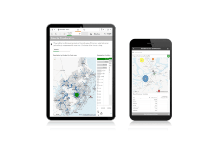
Mapy vytvoříte jednoduše pomocí automatického vyhledávání geografických dat. Následně je můžete překrýt různými vizualizacemi.- Buďte produktivnější s možností vyhledávání polohy za chodu
- Rozumějte svým datům lépe – prozkoumejte všechny aspekty informací a porozumějte vztahům ve vizualizaci
- Eliminujte náklady na údržbu, režii a správu přístupu související s provozem samostatné mapovací databáze
Získejte geoprostorový přehled
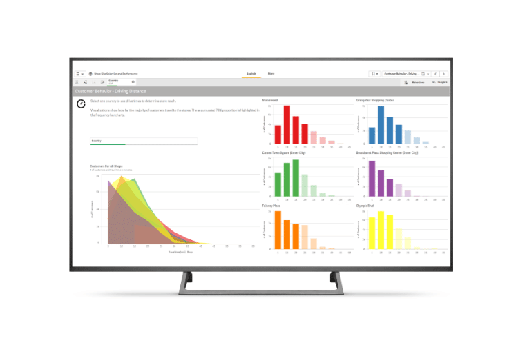
Díky schopnosti rychle zobrazit kartografické informace mohou uživatelé získat přehled o vzorcích, které lze prostřednictvím tabulek a grafů odhalit a interpretovat jen velmi těžko.- Jděte nad rámec vizualizací map – analýza geoprostorových vztahů nebyla nikdy jednodušší
- Efektivně vizualizujte a analyzujte jakákoli již existující geoprostorová data a aplikace
- Získejte přehled o vzorcích, které lze prostřednictvím tabulek a grafů odhalit a interpretovat jen velmi těžko


