Presné geopriestorové informácie vám pomôžu urýchliť a uľahčiť rozhodnutia týkajúce sa polohy
Qlik Geoanalytics: Výkonné mapové vizualizácie a lokalizačné analýzy pre Qlik Sense aj QlikView
Geopriestorová vizualizácia a analytika
S Qlik GeoAnalytics odhalíte nielen skryté geo-lokačné vzťahy ale aj kľúčové geopriestorové informácie. Komplexné možnosti mapovania prekračujúce rámec vizualizácie so vstavanou podporou priestorovej analýzy robia z Qlik GeoAnalytics neoceniteľného geoanalytického pomocníka. Play Video

Kde všade môžete Qlik GeoAnalytics použiť?
Qlik GeoAnalytics je správnou voľbou, ak potrebujete pracovať s geolokačnými dátami- Mapovanie a lokalizačné analýzy pre každého používateľa v organizácii aj mimo nej
- Flexibilita implementácie Qlik GeoAnalytics – ako dočasné riešenie, plne integrované riešenie alebo kombinácia týchto riešení
- Dôveryhodnosť a odborné znalosti v oblasti geopriestorového zapojenia zákazníka
Vysoký výkon, interaktívne mapovanie
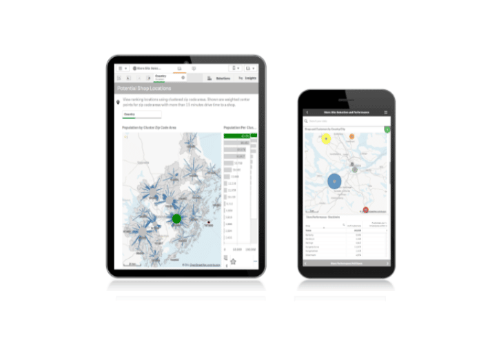
Mapy vytvoríte jednoducho pomocou automatického vyhľadávania geografických dát. Následne ich môžete prekryť rôznymi vizualizáciami.- Buďte produktívnejší s možnosťou vyhľadávania polohy za chodu
- Rozumejte svojim dátam lepšie – preskúmajte všetky aspekty informácií a porozumejte vzťahom vo vizualizácii
- Eliminujte náklady na údržbu, réžiu a správu prístupu súvisiace s prevádzkou samostatnej mapovacej databázy
Získajte geopriestorový prehľad
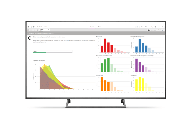
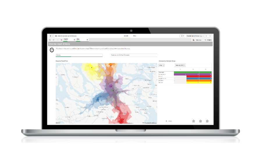
Vďaka schopnosti rýchlo zobraziť kartografické informácie môžu používatelia získať prehľad o vzorcoch, ktoré sa prostredníctvom tabuliek a grafov dajú odhaliť a interpretovať len veľmi ťažko.- Choďte nad rámec vizualizácií máp - analýza geopriestorových vzťahov nebola nikdy jednoduchšia
- Efektívne vizualizujte a analyzujte akékoľvek už existujúce geopriestorové údaje a aplikácie
- Získajte prehľad o vzorcoch, ktoré sa prostredníctvom tabuliek a grafov dajú odhaliť a interpretovať len veľmi ťažko


